Log in
All resources
Create a design
946 Free Images of North English
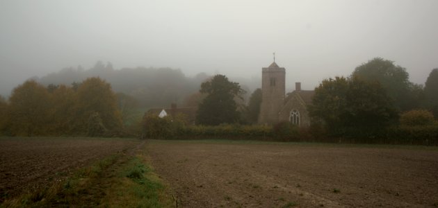
england
uk
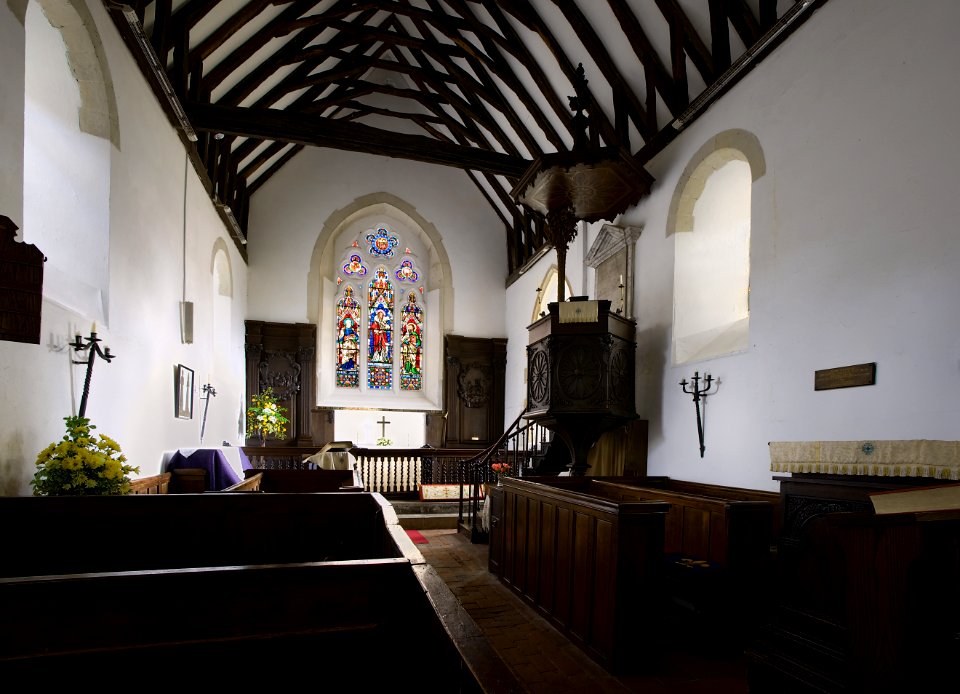
english parish churches
church
kent north
kent
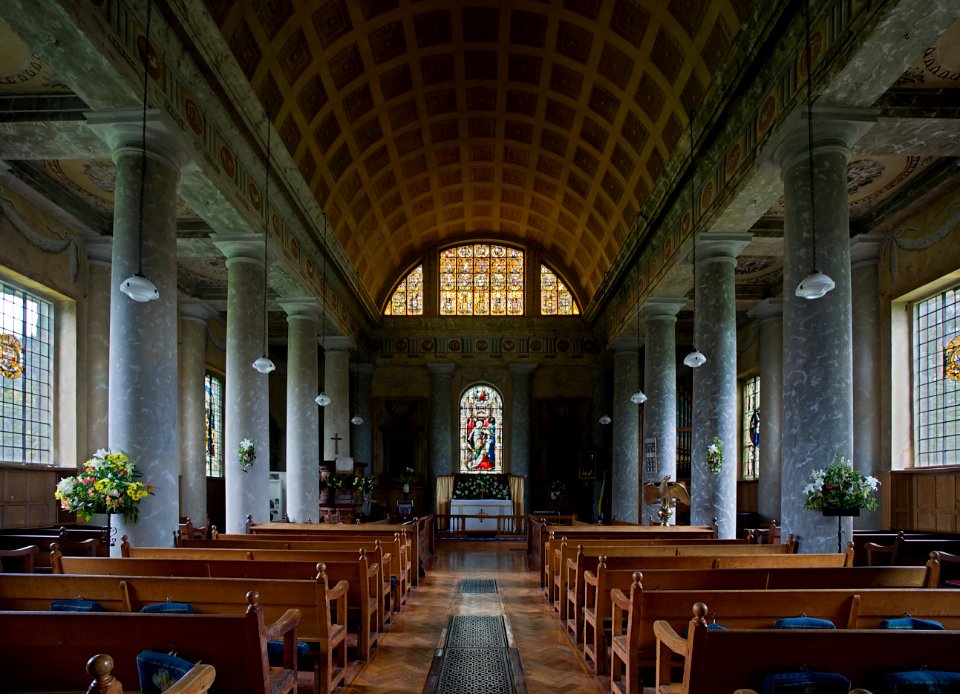
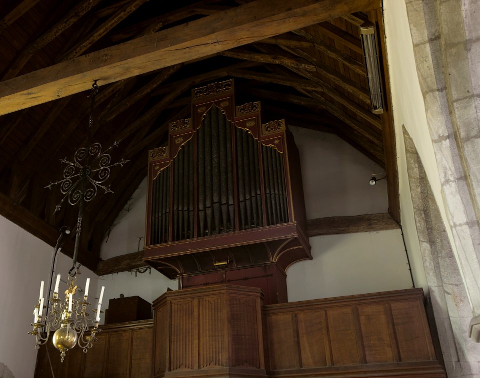
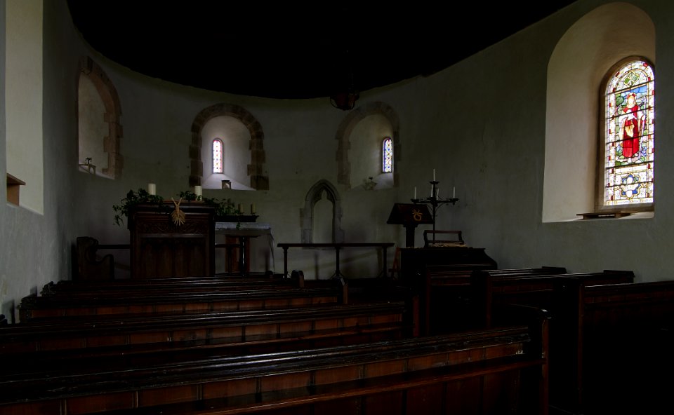
interior
architecture
ightham
historical
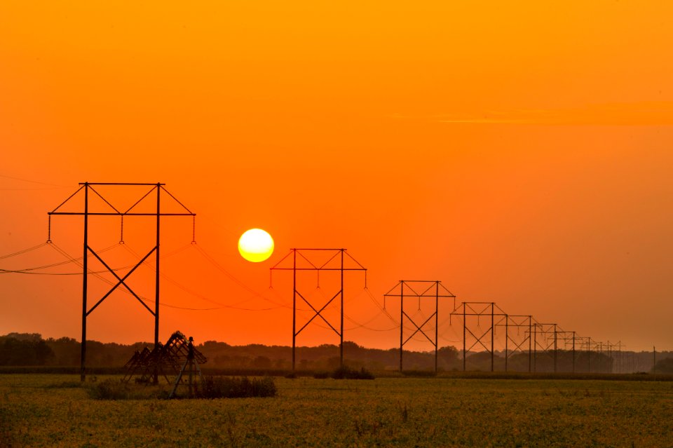
sunset
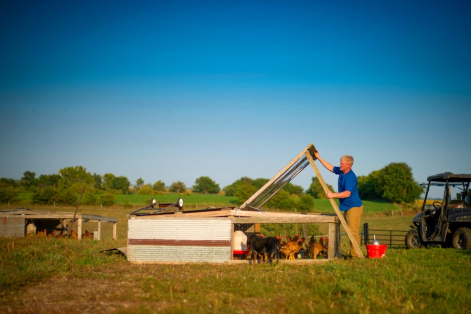
sun
agriculture
grass
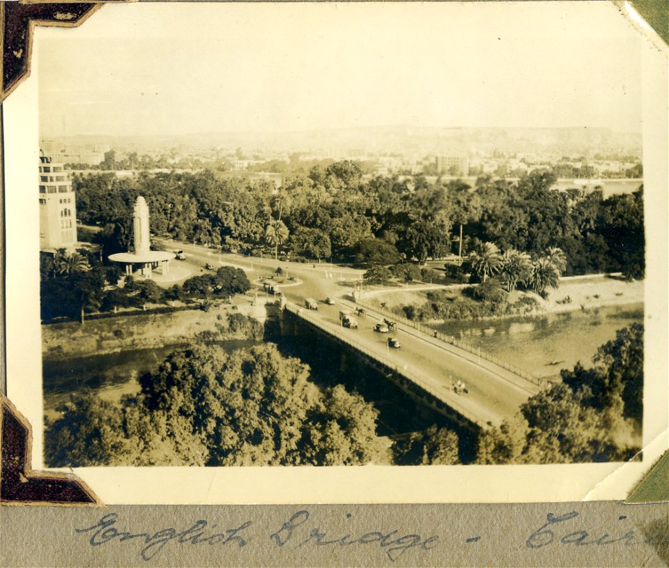
cairo - egypt
bridge
historical
history
eran laor cartographic collection
emanuel bowen
historical
history
historical
history
maps by emanuel bowen
1750s maps of germany
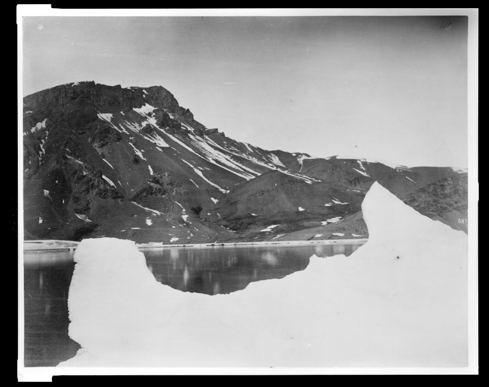
king george sound
william westall
lawrence h. slaughter collection of english maps, charts, globes, books and atlases
nypl lionel pincus and princess firyal map division
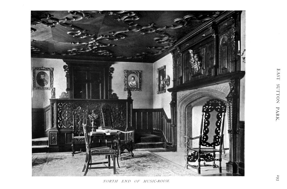
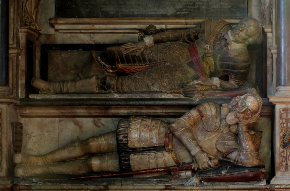
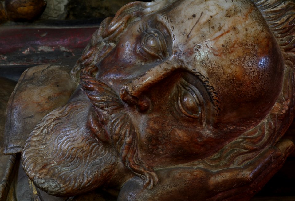
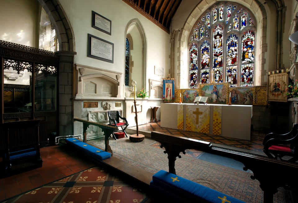
interior
inside
caricatures by leslie ward in vanity fair
1853 births
historical
history
north facade of the royal palace of madrid
english wikisource illustrations
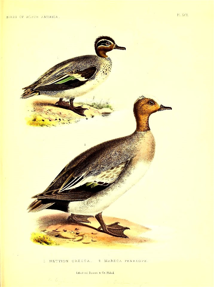
north america
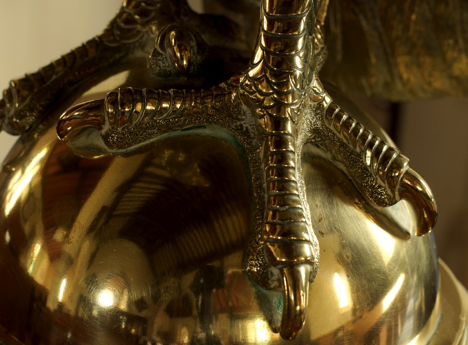
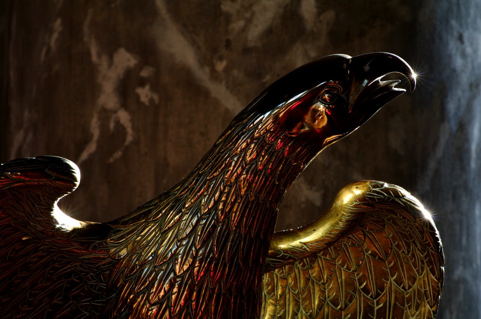
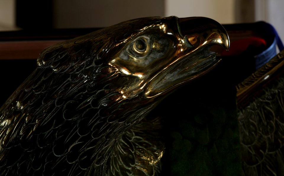
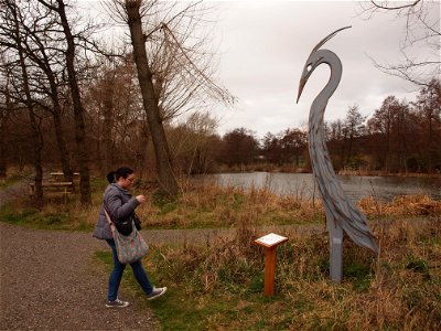
bird
sunset
sun
animals
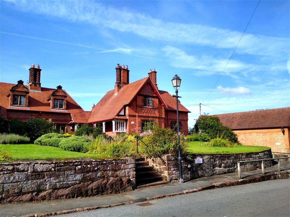
england
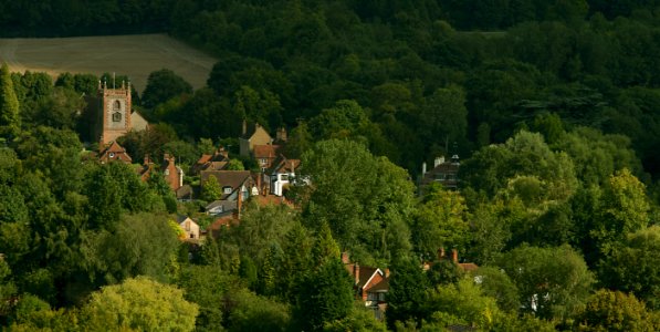
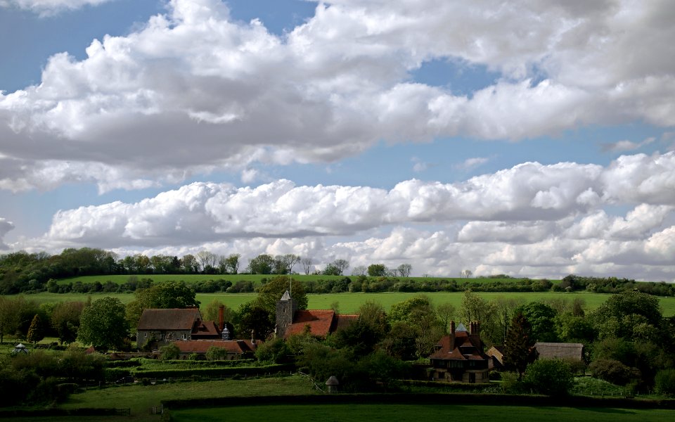
village
house
1750s maps of north america
solomon bolton
egypt
north
works after charles bird king
romanticism
a map of the british empire in america with the french and spanish settlements adjacent thereto
bibliothèque nationale de france
english wikisource illustrations
once a week magazine, 1863
a map of the british empire in america with the french and spanish settlements adjacent thereto
bibliothèque nationale de france
chorographia britanniae (1741-1742)
1740s maps of wales
portraits by federico zuccari
renaissance,mannerism
chorographia britanniae (1741-1742)
18th-century maps of yorkshire
a map of the british empire in america with the french and spanish settlements adjacent thereto
1730s maps of the caribbean
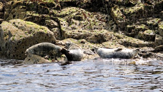
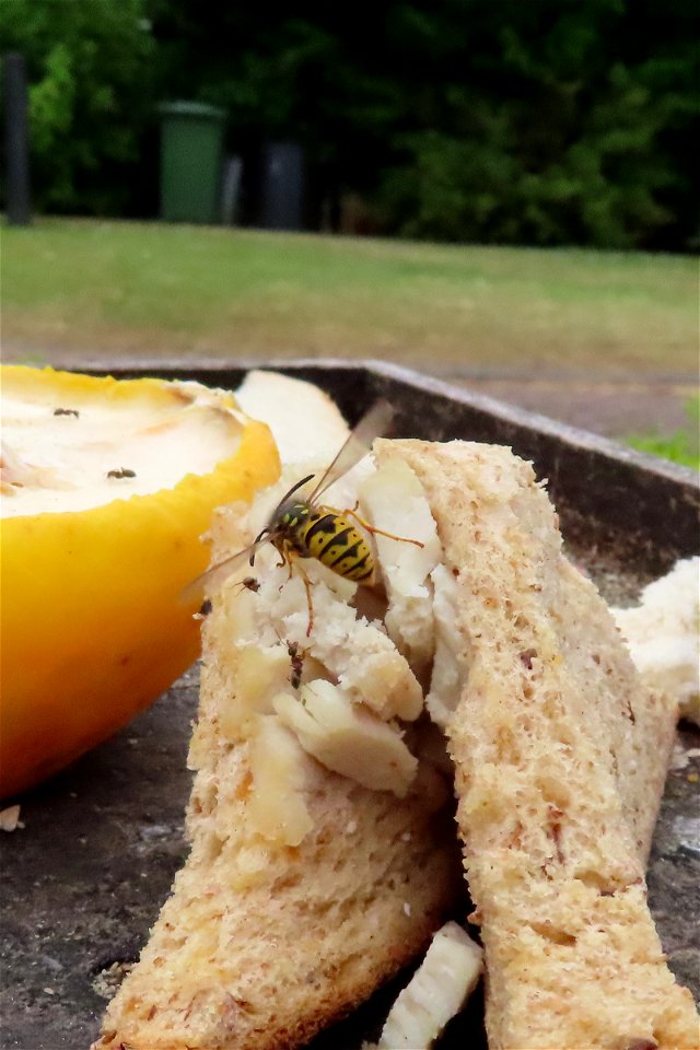
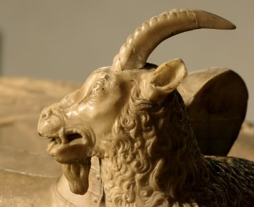
animals
water
historical
history
1747 maps of north carolina
maps by emanuel bowen
a map of the british empire in america with the french and spanish settlements adjacent thereto
1730s maps of the caribbean
18th-century maps of the british isles
armada tapestries
18th-century maps of the british isles
armada tapestries
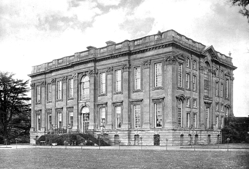
building
travel
england
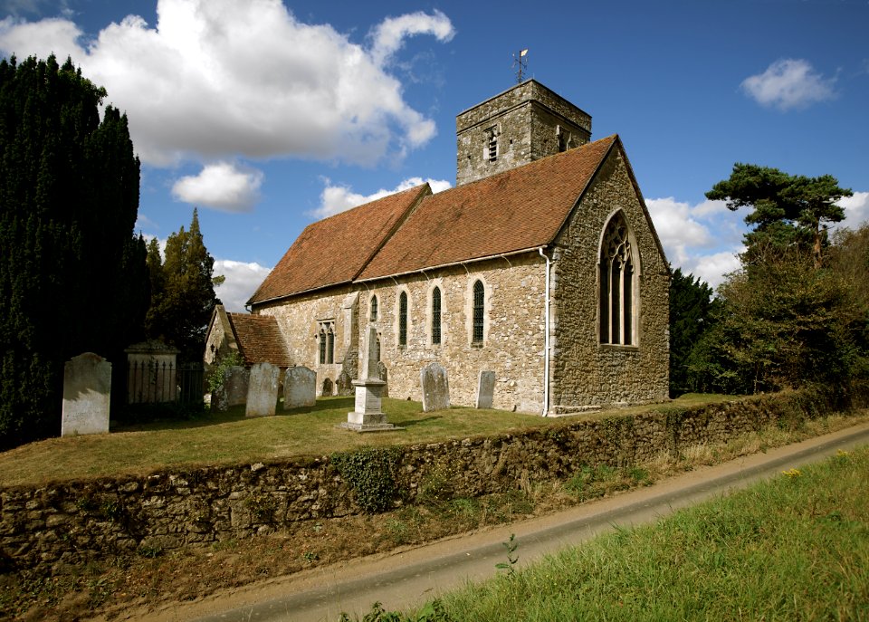
church
england
church
england
church
england
church
england
church
england
church
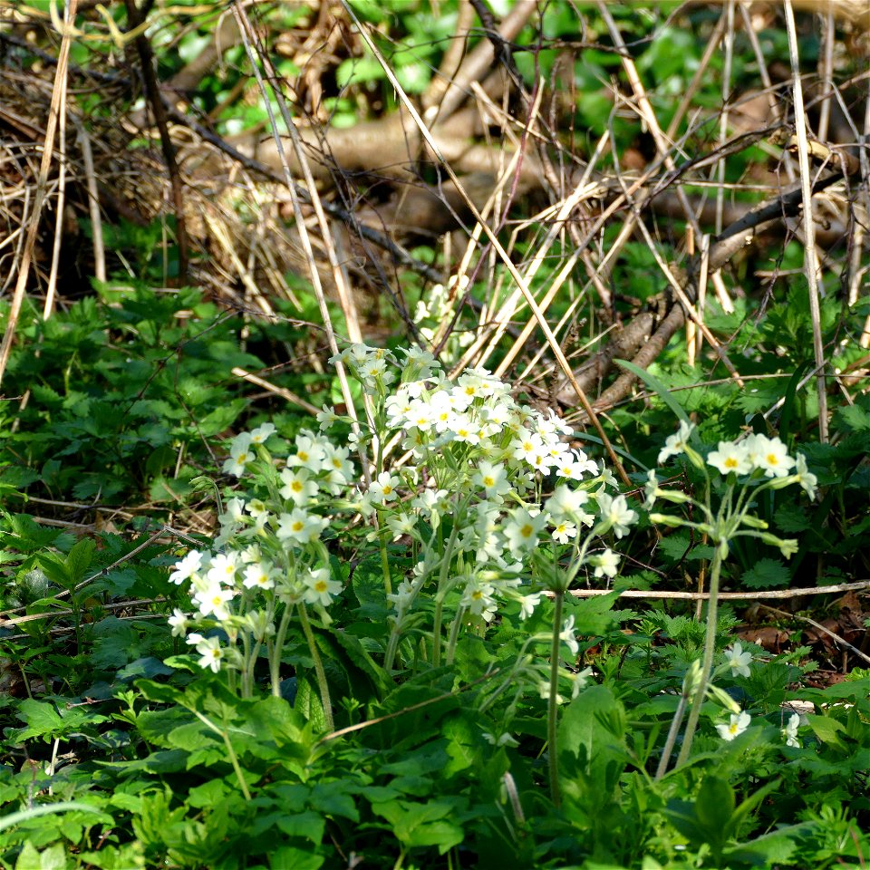
spring
april
animals
water
england
north
maps by pieter mortier
maps from gallica
summer
picnic
building
stones
lawrence h. slaughter collection of english maps, charts, globes, books and atlases
1700s maps of north america
lawrence h. slaughter collection of english maps, charts, globes, books and atlases
covens en mortier
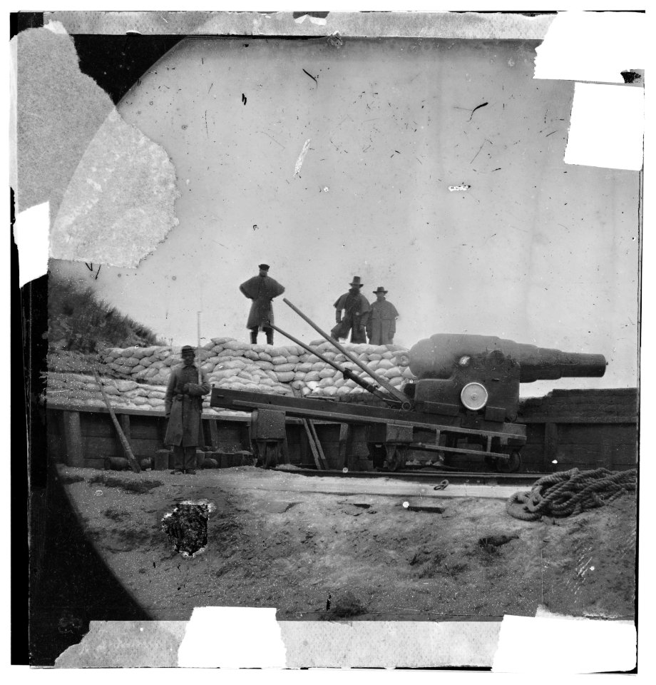
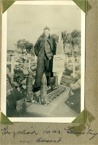
wwi: german activities
world war i in art
djvu files in english
william cogswell
england
church
england
church
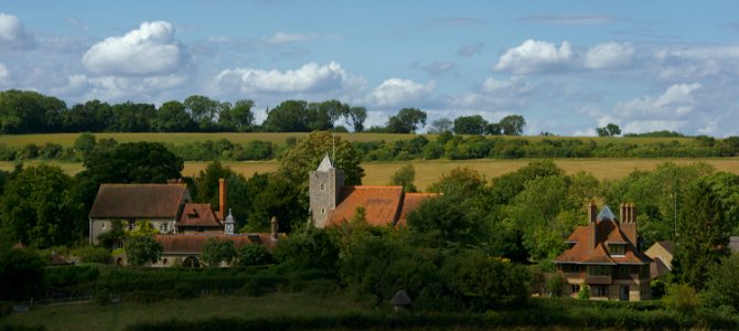
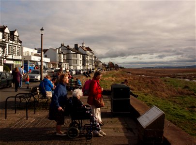
england
travel
landscape
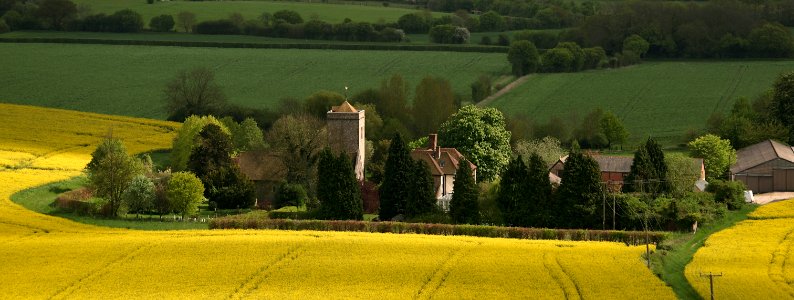
england
landscape
england
england
church
architecture
england
england
church
st paul's, deptford
william henry toms
vincent jansz. van der vinne
haarlem in art
a history of british birds (1843)
passer domesticus in art (male)
england
bird
traffic
roads
media contributed by the archives nationales (france)/10
extérieurs de la cathédrale notre-dame de sées
england
memory
england
memory
england
church
architecture
village
architecture
grass
architecture
landscape
landscape
green
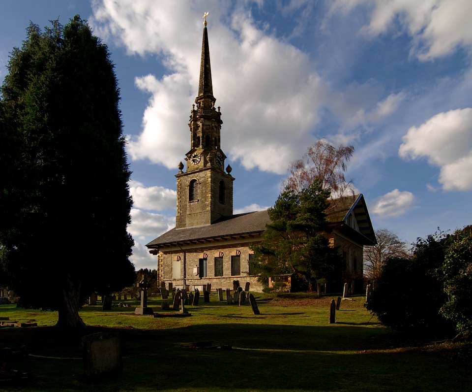
church
uk
england
church
england
church
architecture
england
historical
history
admiralty charts region b: england wales ireland english channel southern north sea
admiralty charts 1801-2000
maps by john cary
1806 maps of asia
architecture
church
architecture
england
john white (colonist and artist)
roanoke colony
copper engravings by benjamin cole
maps of the city of westminster
england
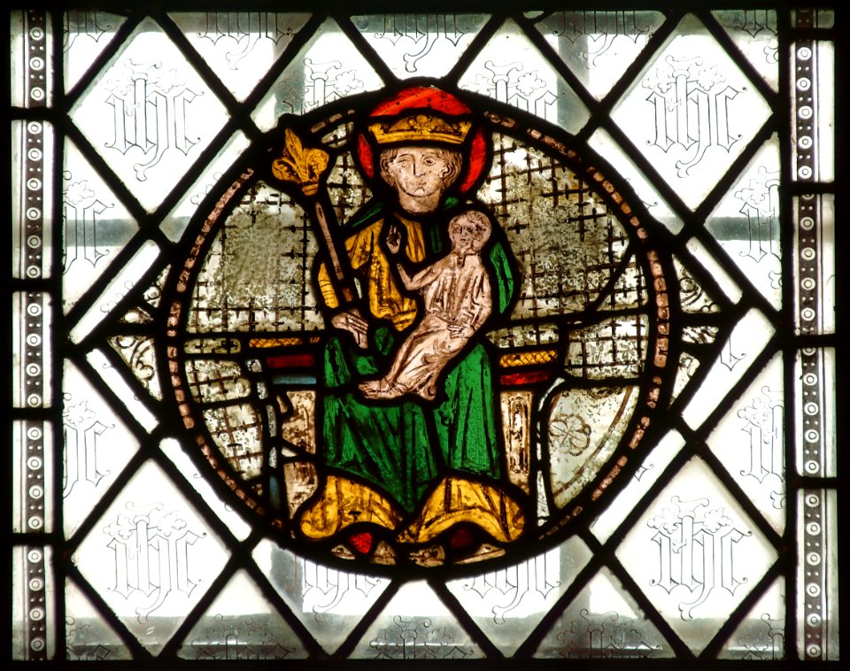
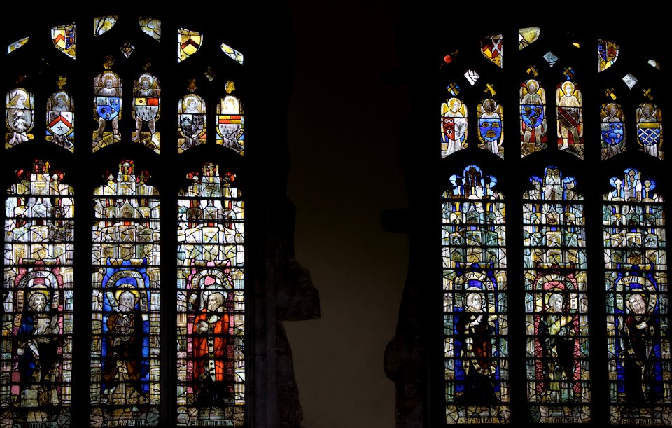
window
england
church
landscape
nature
england
grass
historical
history
architecture
landscape
landscape
autumn
england
gold
england
gold
england
gold
architecture
england
architecture
england
toned image
checkflicr2
water
sea
landscape
england
england
church
architecture
england
401 - 500 of 946
Next page
/ 10


![A Map of North Wales: N. West from London / T. Badeslade delin[eavit]; W.H. Toms Sculp[sit], 1741](https://cdn.creazilla.com/illustrations/10001551176/a-map-of-north-wales-n-west-from-london-t-badeslade-delineavit-wh-toms-sculpsit-1741-sm.webp)


![[...] The North West Prospect of St. Paul's Deptford together wth. the Rector's House [...], William Henry Toms, 1757-1765 (c.)](https://cdn.creazilla.com/illustrations/10001465144/the-north-west-prospect-of-st-pauls-deptford-together-wth-the-rectors-house-william-henry-toms-1757-1765-c-md.jpg)


![Benjamin Cole02, Benjamin Cole, circa 1755[1][2]](https://cdn.creazilla.com/illustrations/10000478895/benjamin-cole02-benjamin-cole-circa-1755-1-2-md.jpg)